Advertisement






The Gulf conflict has disrupted global supply chains, pushed...
REITs have changed the way commercial real estate is owned a...

What does it take to preserve a real estate legacy while bui...
What really powers the cloud? Behind every Google search, A...
A lot of what defines a home isn’t visible at handover. I...
The Andhra Pradesh Capital Region Development Authority (APCRDA) held a Grama Sabha in Nowluru as part of the ongoing planning exercise for Amaravati. The meeting focused on the proposed Village Circulation Plan and Village Integration Plan, with officials explaining the planned road network, connectivity and integration of existing village roads with roads proposed under Land Pooling Scheme (LPS) zones. Surveys are also being carried out to map the existing road network and its linkages. Residents shared their views and suggestions, which APCRDA said would be examined while preparing the village-level plans.
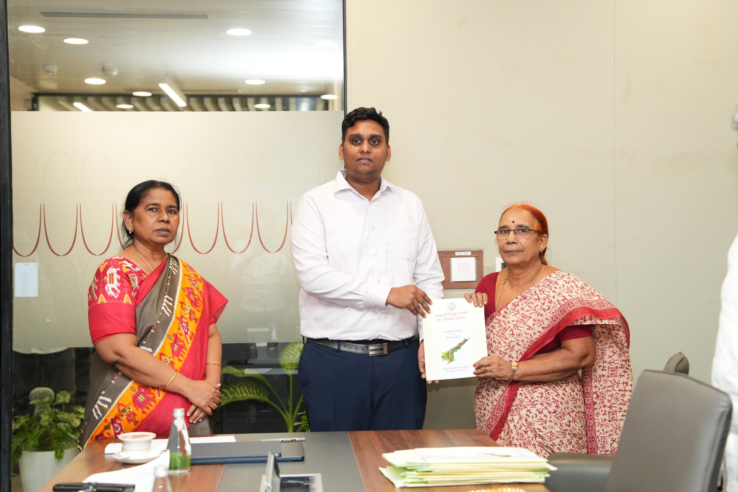
The APCRDA conducted the Grama Sabha in Nowluru this week to discuss the village's road network and connectivity under the Amaravati Master Plan. The consultation was aimed at explaining the proposed Village Circulation Plan and Village Integration Plan to residents and seeking their views before the plans are taken forward.
Officials from the APCRDA Planning Department explained how existing village roads could be connected with the planned road network in line with the Land Pooling Scheme (LPS) zones. The discussion also covered the proposed village road network and infrastructure requirements that would need to be addressed as development in the Amaravati capital region progresses.
The planning exercise is not limited to the proposed roads. APCRDA is also carrying out surveys to establish the current condition and connectivity of roads in Nowluru. These include the Village Road Circulation Pattern Survey and the LPS Road Network Survey. The surveys are intended to provide detailed information on existing roads and their connections, which will be used in preparing the Village Circulation Plan and determining how the village can be integrated with the wider road network.
The consultation follows similar village-level meetings held by APCRDA in other Amaravati villages in recent weeks. Meetings in Lingayapalem, Velagapudi, Undavalli and Uddandarayunipalem also focused on the Village Circulation Plan, Village Integration Plan and the integration of existing roads with the LPS road network.
Nowluru is already connected to important planned road corridors in the Amaravati region. APCRDA has identified the N5 Sub-Arterial Road, a 3.36-km corridor with a 50-metre right of way, as a link between Krishnayapalem, Nowluru and Mangalagiri. The authority has also outlined the E11 arterial corridor connecting Nowluru with Neerukonda, covering 6.31 km with a 50-metre right of way.
The village has also been part of earlier APCRDA land-pooling and infrastructure-related consultations. In a previous Grama Sabha, officials discussed land pooling for roads, pumping stations and other infrastructure, while residents were also informed about the land acquisition process for areas where land had not been contributed under the LPS.
APCRDA's planning system includes dedicated road-network and LPS village mapping layers, with its GIS platform identifying proposed road-network areas and different land-use zones.
During the latest Grama Sabha, Nowluru residents put forward their suggestions and views on the proposed road and connectivity plans. APCRDA officials said the feedback would be reviewed and considered while preparing the Village Circulation Plan and Village Integration Plan for the village.
The consultation is therefore being used to align the proposed road network with the existing village layout and local connectivity requirements. The surveys and resident feedback are expected to form part of the planning inputs before the village-level road and integration plans are finalised.
Source APCRDA
Advertisement













 Facebook
 Whatsapp