Advertisement






The Gulf conflict has disrupted global supply chains, pushed...
REITs have changed the way commercial real estate is owned a...

What does it take to preserve a real estate legacy while bui...
What really powers the cloud? Behind every Google search, A...
A lot of what defines a home isn’t visible at handover. I...
Jaipur Range Police has identified 101 accident-prone black spots across national and state highways and digitally mapped them for integration with Google Maps under its Operation Safer Road initiative. The locations were identified using road accident and fatality data collected over the past three years, with motorists set to receive alerts when approaching high-risk stretches. The initiative covers areas including Jaipur Rural, Dausa, Kotputli-Behror, Alwar, Sikar and Bhiwadi. Police are also seeking to expand the system across Rajasthan and eventually to other parts of the country.
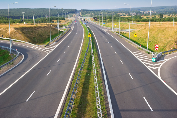
Jaipur Range Police has launched a technology-driven road safety initiative to alert motorists about accident-prone stretches on national and state highways. Under Operation Safer Road, 101 black spots across the Jaipur Range have been digitally mapped and integrated with Google Maps so that users can receive advance warnings while approaching these locations.
The black spots were identified after analysing road accident and fatality data collected over a three-year period. The exercise covers several districts and areas within the Jaipur Range, including Jaipur Rural, Dausa, Kotputli-Behror, Alwar, Sikar, Bhiwadi, Khairthal-Tijara and Jhunjhunu.
Rather than relying only on the number of accidents, the identification process also considered the severity of incidents and fatalities recorded at individual locations. Police teams subsequently verified the locations geographically and prepared the required coordinates and other technical information for digital mapping.
Under the new system, motorists navigating through the affected highway stretches using Google Maps can receive a warning when they approach a designated black spot. The advance notification is intended to encourage drivers to reduce speed, remain attentive and adjust their driving according to road conditions before reaching the high-risk area.
The police have also introduced a QR code-based facility through which users can access information related to the mapped locations. The information includes the location of the black spot, its risk category, geographical coordinates and other road safety details.
The initiative is aimed at using digital tools alongside conventional road safety measures to reduce accidents and fatalities. By providing warnings before motorists reach hazardous locations, authorities expect drivers to have more time to respond to changing road conditions and exercise additional caution.
The mapping exercise involved analysing police records, traffic information and accident data before identifying and verifying the locations. The resulting information was then converted into digital mapping data for integration with navigation services.
The Jaipur Range Police is also looking at expanding the model beyond the current coverage area. A proposal has been sent to the National Highways Authority of India (NHAI) seeking consideration of a similar system across highways in Rajasthan and potentially at a wider national level.
The initiative could provide authorities with an additional technology-based mechanism for improving highway safety while making information about accident-prone locations more accessible to motorists. If expanded, the system could create a broader digital network of road-risk alerts across major highway corridors.
Advertisement













 Facebook
 Whatsapp