Advertisement






The Gulf conflict has disrupted global supply chains, pushed...
REITs have changed the way commercial real estate is owned a...

What does it take to preserve a real estate legacy while bui...
What really powers the cloud? Behind every Google search, A...
A lot of what defines a home isn’t visible at handover. I...
Goa’s Town and Country Planning Department has notified around 9.73 lakh sq metres of land in parts of Mormugao and Salcete as non-developable areas under Section 39A of the Goa Town and Country Planning Act. The notification covers multiple land parcels identified for protection from development, including areas in Sao-Jorge Island in Mormugao. The move is part of the state’s efforts to restrict development in environmentally sensitive and ecologically important areas. The notification places the identified parcels outside the scope of normal development activity under the applicable planning framework.
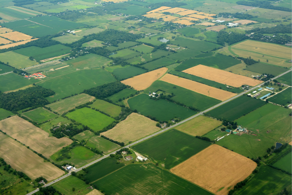
The Goa government has notified around 9.73 lakh square metres of land parcels as non-developable areas, restricting development across identified locations in Mormugao and Salcete. The notification has been issued by the state’s Town and Country Planning Department (TCP) under Section 39A of the Goa Town and Country Planning Act.
The move covers several parcels of land that have been brought under the non-developable category through the planning department’s notification. The decision is significant for land-use planning in the affected areas as it places the identified properties outside the scope of regular development activity.
According to reports, a substantial portion of the notified land is located at Sao-Jorge Island in Mormugao. Other parcels are spread across locations in Mormugao and Salcete, with the combined area covered by the notification amounting to approximately 9.73 lakh square metres.
The notification comes amid wider efforts in Goa to regulate construction and protect areas considered environmentally or ecologically sensitive. Restrictions on development in such locations are intended to prevent unplanned construction and preserve natural landscapes that can be affected by changes in land use.
The latest notification follows other measures in the state aimed at identifying land that should remain outside development activity. Goa has been dealing with increasing pressure from urbanisation, tourism-related development and infrastructure expansion, making land-use regulation an important component of its planning framework.
Declaring land as non-developable can have a direct impact on what activities can be undertaken on the affected parcels. Such notifications provide a planning mechanism through which authorities can limit development in areas where construction may conflict with environmental, geographical or planning considerations.
For property owners and developers, the classification also establishes greater clarity regarding the development status of the affected land. Parcels included in the notification cannot be treated in the same manner as land available for conventional development, and any proposed activity would have to comply with the applicable planning and environmental provisions.
The notification under Section 39A provides the statutory basis for the action. By formally recording the identified parcels as non-developable, the planning department has incorporated the restrictions into the state's land-use regulatory framework.
The move is particularly relevant in the context of Goa’s sensitive coastal and hill ecosystems. The state has faced continuing concerns over the impact of construction on natural areas, including hills, forests, wetlands and other ecologically important landscapes. Restricting development in identified locations can help authorities manage these pressures through formal planning controls.
The 9.73 lakh sq metre area notified under the latest decision therefore represents a substantial addition to land subject to development restrictions. The measure also signals the government's continued focus on using planning regulations to determine where construction should and should not take place.
The decision could have implications for future development proposals in the affected parts of Mormugao and Salcete. Developers and landowners will need to account for the revised classification when assessing the potential use of these parcels.
At the same time, the notification forms part of a broader approach towards balancing Goa’s development requirements with the protection of its environmentally significant areas. As construction and infrastructure activity continues to expand, such land-use decisions are likely to remain important for determining the state's development pattern.
The latest notification consequently strengthens the regulatory framework governing the identified parcels and places approximately 9.73 lakh square metres of land under non-developable status, limiting the scope for conventional development across the notified areas.
Advertisement













 Facebook
 Whatsapp