Advertisement


Private equity has played a significant role in shaping Indi...
In today’s real estate landscape, fitness is often treated...
In this episode of Prop Personalities, we sit down with Hars...
Luxury real estate is one of the most talked-about segments ...
Welcome to Prop Personalities by Prop News Time - a podcast ...
Matrix Geo Solutions has been assigned a project by the Ajmer Division of Indian Railways to deploy Digital Twin technology for a new broad gauge railway corridor between Taranga Hill and Abu Road via Ambaji. The company will carry out drone-based LiDAR surveys to collect detailed terrain data, which will be used for topographic mapping and engineering analysis. It will also develop a 3D Digital Twin of the existing landscape along with a model of the proposed railway alignment, including bridges, tunnels, and stations, to improve planning accuracy and coordination.
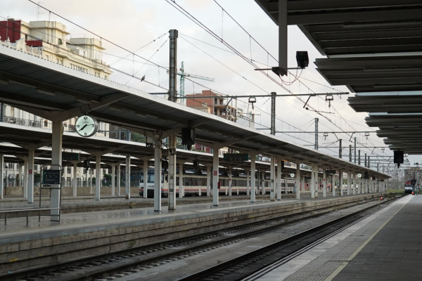
Matrix Geo Solutions has been awarded a project to implement Digital Twin technology for a new broad gauge railway corridor under the Ajmer Division of Indian Railways. The corridor is planned between Taranga Hill and Abu Road via Ambaji. The initiative is aimed at improving the accuracy of planning, design coordination, and execution support for the proposed rail alignment. Advertisement


As part of the assignment, Matrix Geo will conduct drone-based LiDAR aerial surveys along the entire proposed route. These surveys will help capture high-precision ground and terrain data, which will further be processed to develop detailed topographic maps, elevation models, and orthophoto mosaics. This dataset will act as the base layer for engineering design and technical analysis of the corridor.
The project will also involve the creation of a detailed 3D Digital Twin of the existing landscape. This model will include key physical features such as buildings, roads, vegetation, water bodies, and utility infrastructure. Alongside this, a separate 3D model of the proposed railway corridor will be developed in line with Level of Development 200 standards. It will cover key engineering elements including formation width, toe lines, bridges, tunnels, and station structures, providing a structured digital representation of the planned infrastructure.
In addition, Matrix Geo will generate aerial simulation outputs and flythrough visualisations of the corridor. These visual tools are expected to support better stakeholder understanding, assist in route alignment discussions, and reduce the chances of design modifications during the construction phase. The digital models will also be useful for coordination between engineering teams and may support future maintenance and operational planning of the corridor.
The project reflects the growing use of digital engineering tools in railway infrastructure development, where data-driven planning is being increasingly adopted for large-scale projects.

5th Jun, 2025

25th May, 2023

11th May, 2023

27th Apr, 2023
Advertisement


 Facebook
 Whatsapp